Maps & Prince William Forest Park
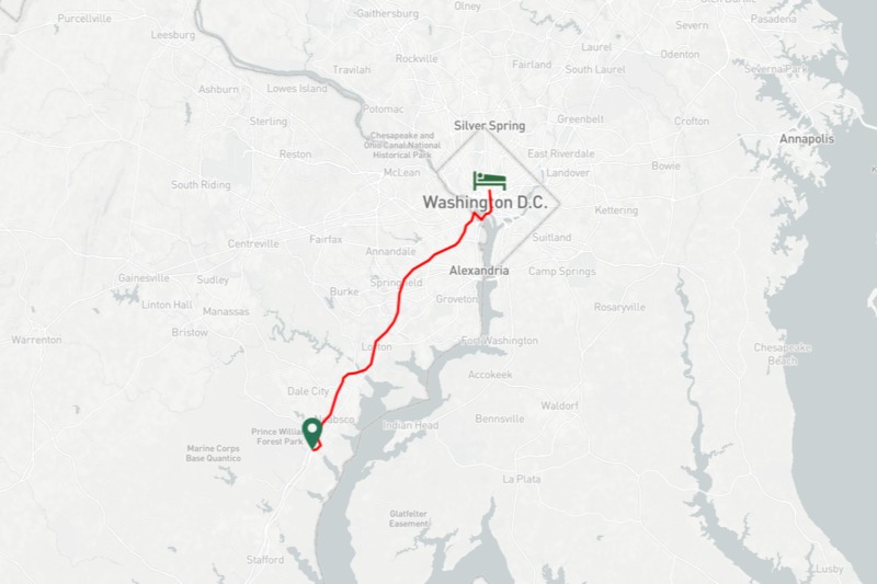
The Park was opened in 1936, but was not integrated. The Cultural New Deal rehabilitated these areas for a greater purpose, but limited that purpose to a select group. If a Black Family were to travel through Virginia in the 1930's there would be nowhere for them to stay or sleep. Only Washington DC had places for African-Americans to sleep.[4]
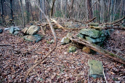
This is particularly difficult because prior to the Federal reclamation of the land part of it housed Batestown. This homestead was the first land owned by free slaves in this area after the Civil War. Most of their land was taken from them, and they were never compensated. Close to 75 people called it home.[5] This land houses a great growth from economic devastation, but racial prejudice remained in the areas. The Federal Project took two steps forward then one step back in Northern Virginia. The lands did become integrated when the Civil Rights Movement took effect, but that is several years down the road.
[4]Foo, Brian "The Green Book" NYPL Labs, Accessed December 13th, 2019.
https://publicdomain.nypl.org/greenbook-map/
[5]"Prince William Forest Park; Hickory Ridge, Joplin, & Batestown." National Park Service, accessed December 13th, 2019.
https://www.nps.gov/prwi/learn/historyculture/hickory-ridge-joplin-and-batestown.htm