Blog Post #7: (mapping)
Growing up in Philadelphia I had its history drilled into my head every year. Eventually I got tired and just stopped paying attention in history classes. This project though helped me learn about historical Philadelphia in a new way. Being able to plot the locations and make it all interactive made me want to learn compared to reading words in a textbook. Having visual aid to go along with the history makes it way easier to retain. Working with JS story maps, it helped me figure out exactly where each location was and the significance of that area.
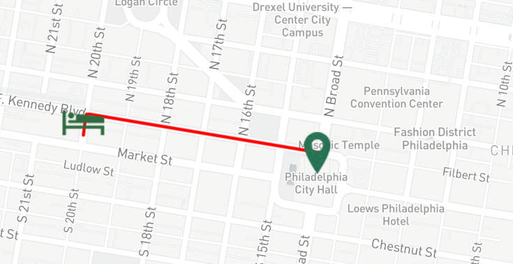
While looking through various versions of Green Book maps I noticed most of them had a cluster of sleeping and eating spots. Before inputting the route I wanted the map to follow I expected there to be a higher number of tourist locations. I choose center city for my Green Book map. Even though was typical for Northerns to not own slaves, Philadelphia had a big slavery number. There was not a lot of african american tourists in the Philadelphia area. But I do think the Philadelphia area became a popular tourist area because of the Anti-Slavery movements that started in this area.
Sites:
“Philadelphia, a Guide to the Nation’s Birthplace, Compiled by the Federal Writers’ Project, Works Progress Administration, for the Commonwealth of Pennsylvania : Federal Writers’ Project (Pa.) : Free Download, Borrow, and Streaming.” Internet Archive, [Philadelphia] William Penn Association of Philadelphia, 1 Jan. 1970, https://archive.org/details/philadelphiaguid00fedemiss.
Encyclopedia of Greater Philadelphia, https://philadelphiaencyclopedia.org/.
