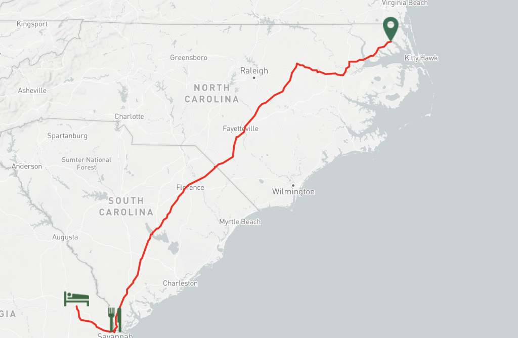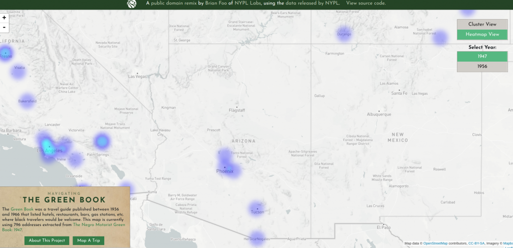
Mapping and spatial history are important to help the reader/user understand the benefits and reasons for people of the past settling in these areas. For example, many cities such as Yorktown, Virginia or Myrtle Beach, South Carolina are both along a body of water, so it would make sense to settle here because of the advantage of trade and multiple other resources such as food and housing material. Through mapping, it is easy to notice these advantages and also to see the natural boundaries and resources. Another benefit of spatial history is the ability to see changes over time. For example, seeing how town and cities expanded over time due to population growth and innovations such as the American railway system. This can also show patterns developing among time and place. So, spatial history can help us understand why towns and cities are the way they are.
Primary sources are immediate, first-hand accounts of a topic from a person or organization that had a direct connection to the event. When looking at primary sources through a spatial lens, it is important to notice the patterns that can be found within them. For example, through the skills assignment, I was able to see a pattern that almost every single city/town I found was rested along a river or waterway. Through primary sources, I noticed that these waterways were integral parts of life for the people that live there and made a living there. Also, another thing I noticed is that the major tourist sites I explore through this assignment didn’t align with the slave trade routes at all. It seemed as though they completely avoided each other. This seems as though segregation and racial bias were focused on different routes, at least within North Caroline during the 1940’s.1 Tourism seems to be popular in the major areas such as Charleston, North Carolina and myrtle Beach, South Carolina, but I couldn’t find any routes from the Green Book Map that passed through these areas. It appears to me that during this time white and black travelers might not have the same experiences in these tourist destinations in North Carolina. Primary sources also help show how over time things can change. Connecting back to the oral slave narratives, my interviewee discussed how when he was a child, he never had shoes, but now as an adult a majority of kids did have shoes, which was a major change for him. This also shows that African American tourists would possibly not be welcome in these areas, which is interesting to the fact that these were major city hubs, and yet they still weren’t welcome there during this time period.2