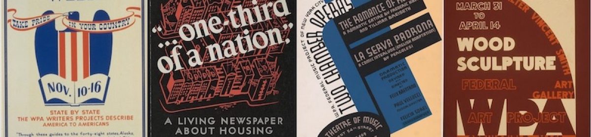
Automobile tours of American came about in the 1930s while the United States was struggling through the great depression. During the New Deal Era, the Works Progress Administration (WPA) undertook several projects. The largest and most known, being the Federal Writers Project. The American Guide Series was a series of books written as of the projects by the Federal Writers Project. It was a cooperative effort of State and Federal Organizations. Part tour guide and part almanac, these guide books were meant to encourage people to see America, to travel and move out west.1 Colored people have using similar books and maps for a very long time to visualize racism. The Green Book, a travel guide that listed hotels, restaurants, bars, etc. where black travelers would be welcome. This book helped many colored people who were traveling for work or vacation, get there safely and enjoy their time. “Many prominent African-American activists at the time turned to maps and other data visualizations in order to help the public–and even the president–to understand the detrimental effects of slavery on the country.” (Sarah Bond, 2017)2
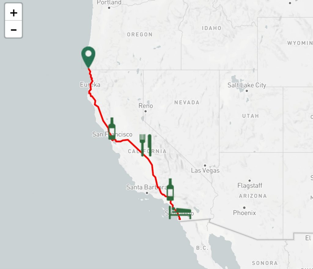
When choosing my tour for my map project I wanted to focus on a place that I have never been before. I wanted to be able to learn about a new place as well as learning about mapping. I chose to do the state of California. More specifically the coast of California. I’ve never been out west and do not know much about it. I also was curious as to how welcoming the west was to colored people. Since the west was developed later on, near the end of slavery, would it be easier or harder to travel there being colored? As I was mapping the points on my map, it was a little difficult to find information in the guide book about the stop itself. Most of what the guide book talked about was what came before and after the stops. It talked about the sites you see on the way to and from each stop. This caused most of the information I talked about in my map project to be about the surrounding areas. It was still very interesting. I also pulled photos from the web for each stop on the map. Once my map was complete, I took to The Green Book website. I entered my beginning point and my destination. The map it gave me was pretty bare. Not many restaurants or hotels that would except colored people. It was really shocking to see. Even though California was developed later on, the effects of slavery and segregation carried on from the east. This map also deviated from the coastal course given in the guide book. It took the trip further in-land through Fresno instead of through San Jose and Santa Barbara. https://uploads.knightlab.com/storymapjs/e2b1c65bcece3b107a43c7955431b69b/the-golden-state/index.html
“American Guide Series: The WPA Federal Writers’ Project: The Guides.” Research Guides. Accessed November 18, 2019. https://libguides.rowan.edu/c.php?g=248106&p=1653082.
Bond, Sarah. “Mapping Racism And Assessing the Success of the Digital Humanities.” History From Below, October 20, 2017. https://sarahemilybond.com/2017/10/20/mapping-racism-and-assessing-the-success-of-the-digital-humanities/.
- “American Guide Series: The WPA Federal Writers’ Project: The Guides.” Research Guides. Accessed November 18, 2019. https://libguides.rowan.edu/c.php?g=248106&p=1653082.
- Bond, Sarah. “Mapping Racism And Assessing the Success of the Digital Humanities.” History From Below, October 20, 2017. https://sarahemilybond.com/2017/10/20/mapping-racism-and-assessing-the-success-of-the-digital-humanities/.
